GMAT Testing Location
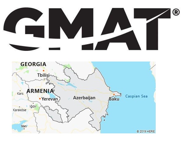
We have found 1 GMAT test centre in Azerbaijan, located in Baku. For specific test dates of 2019, please refer to the end of this page.

Azerbaijan University of Languages
R. Behbudov 134
AZ1014 Baku
Azerbaijan
Phone: +994 124416082
Test Center Information
Rashid Behbudov 134, Azerbaijan University of Languages (Main building), Room 407, On 4.floor. Test Center
Near, infront of UniBank
GMAT Exam Dates in Azerbaijan
Unlike some paper based exams, the GMAT is computer based. Therefore, there are no fixed test dates for GMAT. Wherever you are in Azerbaijan, all test centers are open from Monday through Saturday throughout the year. Some even offer the exam every day of the year. However, some test centers are not open on Sundays and national holidays. For example, most college-based test centers might be closed for extended periods around holidays. For precise testing dates in Azerbaijan, please visit test-maker website – https://www.mba.com/.
More about Azerbaijan
Azerbaijan borders Georgia in the north-west, Russia (part of the Republic of Dagestan) in the north, the Caspian Sea (800 km maritime border) in the east, Iran and Turkey in the south, and Armenia in the west.
Azerbaijan is the largest of the Caucasus republics. In the heartland, the Kura-Arax plain extends, which is mostly below 200 m above sea level, in the eastern part even below sea level. The plain, in which the country’s main settlement areas are also located, opens to the Caspian Sea in the east. It is divided in the north by the eastern part of the main (in Bazardüzü 4,466 m above sea level) and secondary chain (in Shachdagh 4,243 m above sea level) of the Greater Caucasus , in the south by the eastern mountain ranges of the Lesser Caucasus (in Gyamysh 3 724 m above sea level) with the volcanic highlands of Nagorno-Karabakh.
Mountains take up almost half of the country’s area. In the north-east of Azerbaijan, the high mountain ranges of the Greater Caucasus merge into a series of low mountain ridges that protrude far into the Caspian Sea on the Apsheron peninsula. The Lenkoran lowlands, the southernmost coastal zone of the Kura-Arax plain, are bounded in the west by the Talysh Mountains (up to 2,477 m above sea level), which extend into Iran. The Sangesur Mountains (up to 3,904 m above sea level), which are mostly located on Armenian territory, separates the Nakhichevan Autonomous Republic as an exclave from the heartland in the south.
The rivers drain to the Caspian Sea. The largest river is the Kura ; Arax and Alazani are its main tributaries. They are used for irrigation and energy generation. The middle course of the Kura to the Mingetschaur reservoir (605 km 2) is dammed. The water of the Arpa River, which formerly flows into the Arax, is led through a tunnel under the Wardenis Mountains into Lake Sevan in Armenia to compensate for its heavy water losses.
Climate
Azerbaijan is located in the subtropical zone. Most of the Kura-Arax plain belongs to the dry subtropical climate zone with semi-desert and steppe climate, only the lowlands of Lenkoran are in the humid subtropics. In the mountains there is a graded climate. In the dry lowlands (the Apscheron peninsula is particularly low in precipitation) the average temperature in July is 25–27 ° C and in January 0–3 ° C, the mean annual precipitation is 200–300 mm; in the Lenkoran lowlands, the July mean is 27 ° C, the January mean is 6 ° C and the annual rainfall is between 1,100 and 1,800 mm; in the mountains, the average January temperatures reach between −3 ° C and below −10 ° C, depending on the altitude, the July temperatures 5 ° C and the precipitation 1,300–1,600 mm (Greater Caucasus).
Vegetation
In the Kura-Arax plain, semi-desert and partly desert vegetation with salt-loving plants predominates, which gives way to mountain-steppe vegetation in the western areas and on the lower mountain slopes. Subtropical vegetation with relic plants such as boxwood and yew can be found in the lowlands of Lenkoran. Oak, beech, hornbeam and chestnut forests cover a seventh of the country’s area, they extend on the southern roof of the Greater Caucasus and in places also on the mountain tops of the Lesser Caucasus and the Talysh Mountains. Above 2,200–2,500 m above sea level, subalpine and alpine meadows spread out, which are used as summer pastures. The original flora and fauna are protected in several nature reserves. In 2003 the first national park (Shirvan) was established.
Environment: The ecosystems show severe damage, particularly in the area of industrial centers. The coastal region, in particular the Apscheron peninsula, is widely contaminated by residues from oil production. The pollution of the Kura with pollutants is extremely high, the river can no longer be used as a source of drinking water. Problems continue to be caused by air pollution in the largest cities, the rise in lake levels in the Caspian Sea, the salinisation of the Mugan steppe with the associated loss of agricultural land and increasing deforestation.
