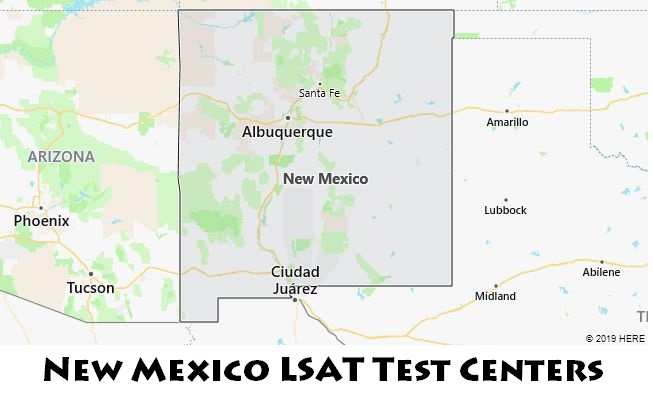
LSAT, which stands for Law School Admission Test, is an exam that must be taken by applicants who plan to study in law degree programs of New Mexico. This page provides a full list of LSAT test centers and their city locations within the state of New Mexico. You can select one that is nearest to you. Also offered are the most recent test dates during 2019-2020 academic year. To check detailed LSAT testing locations and dates in New Mexico, please see the following tables.

| Test Center | City/State | Test Date and Time |
| CENTRAL NEW MEXICO COMMUNITY COLLEGE | Albuquerque, NM | 9/21/2019 8:30:00 AM
11/25/2019 12:30:00 PM 1/13/2020 12:30:00 PM 3/30/2020 12:30:00 PM |
| NEW MEXICO HIGHLANDS UNIV | LAS VEGAS, NM | 9/21/2019 8:30:00 AM
2/22/2020 8:30:00 AM 3/30/2020 12:30:00 PM 4/25/2020 8:30:00 AM |
| EASTERN NEW MEXICO UNIVERSITY | PORTALES, NM | 9/21/2019 8:30:00 AM
11/25/2019 12:30:00 PM 1/13/2020 12:30:00 PM 2/22/2020 8:30:00 AM 3/30/2020 12:30:00 PM 4/25/2020 8:30:00 AM |

The LSAT exam in New Mexico may be held on weekends or public holidays.
New Mexico Geography
The eastern counties of New Mexico are part of the so-called “High Plains”, part of the United States Great Plains. This is a vast plateau, the height of which varies from 1,200 to 1,500 meters. The most famous part of the “High Plains” in New Mexico (and neighboring Texas) is the Llano Estacado, one of the largest plateaus in the United States. The “High Plains” of New Mexico is an arid steppe that passes in the south of the state into the Chihuahua Desert.
In the southeast is the Guadalupe (Guadalupe) mountain range, famous for the Carlsbad Caves National Park, which is very popular with tourists. This is a complex of several dozen karst caves, the largest of which, the so-called “Big Room” (Big Room), has dimensions of more than 1,200 meters in length, almost 200 meters in width and more than 75 meters in height (the third largest in Northern America and seventh in the world). Among other things, the Carlsbad Caves are famous for their very beautiful mineral formations – stalactites and stalagmites.
Northwest New Mexico is part of the Colorado Plateau, a vast plateau that also extends into neighboring states in the Four Corners region.
The central, southern, and southwestern counties of New Mexico are located in the Ridges and Basins region, where numerous relatively small mountain ranges (Sacramento, San Andres, Sierra Blanca, Manzano, Fra Cristobal, Organ) alternate with arid valleys, in which salt marshes, sand dunes and solidified volcanic lava flows are often found.
More than 700 km 2 in the largest of these valleys, the endorheic Tularosa basin, is occupied by the White Sands Reserve (White Sands), which has the status of a US National Monument. This is the largest desert in the world, the dunes of which are formed by gypsum crystals and, because of this, have an unusual white color for sand.
New Mexico has an arid climate with distinct seasons, rather hot in the steppes and deserts, and much cooler in the mountains.
In New Mexico’s largest city, Albuquerque, located in the central part of the state, the weather is usually sunny and dry. Winters are short, with average January temperatures typically ranging from -5°C to 9°C, while summers are hot, with temperatures typically ranging from 18°C to 34°C in July. In the state capital city of Santa Fe, which is located at an altitude of more than 2,100 meters above sea level (the “highest” state capital in the United States), the coldest month is usually, and in the hottest – from 12 ° C to 30 ° C. In southern New Mexico, in the city of Alamogordo, the average winter temperature ranges from -2°C to 13°C, and in summer – from 18°C to 35°C.
Northern Rio Grand National Heritage Area
The Rio Grande River, then Río Bravo del Norte in Spanish, flows through the southwest of North America and the states of Texas, New Mexico and Colorado. Its flow continues to Mexico and reaches a total length of 2880 km. The basin of this river has an area of 570,000 km2.
The Rio Grande originates in the mountains of San Juan, which belong to the mountain system of the Rocky Mountains. It crosses a mostly dry flat landscape and sometimes meanders through narrow canyons. It empties into the Gulf of Mexico. The most water is in the river bed in the period from September to November, when strong floods also occur. In summer, the river is almost dry in some places. Several dams were built ON the river to irrigate the landscape and generate hydropower.
Several larger cities lie on the river, such as Albuquerque, El Paso, Ciudad Juarez and Nuevo Laredo (Mexico). The northern reaches of the Rio Grande River in New Mexico have been declared a National Monument to protect the remains of a colorful mosaic of cultures. In the past, numerous Pueblo Indian tribes lived here, as well as descendants of Spanish colonists. White settlers settled in the area around 1598.
Currently, this locality is attractive for its natural, cultural, historical and recreational resources, which are pleasantly combined here. A unique landscape was created here, in which the remains of human activity and life are visible. The languages, cultures, folk art, customs and architecture of the white and Indian inhabitants mixed here. The area is therefore a unique reminder of America’s colonial history.
